April 5, 2011
Is Mount Varna stirring again?
Update: Here's the result of my FOIL request, as a set of PDF files. This one seems to be the key plan (3.4MB PDF), with more details here (1.7MB PDF).
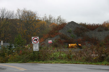
Volcanos rise and fall, and often make their neighbors unhappy. This also seems to be true for the pile of fill often called "Mount Varna", the eyesore for years that the Town ordered removed in 2009, finally declining to a mostly flat lot in April.
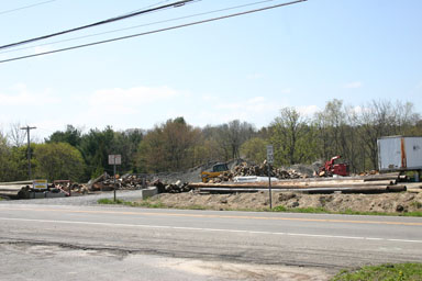
On the northest corner of the intersection of Route 366 with Freese and Mount Pleasant Roads, this two-acre lot is extremely visible, famously "even uglier than what's across the street from it", and adds to the challenges drivers face getting through an already complicated intersection.
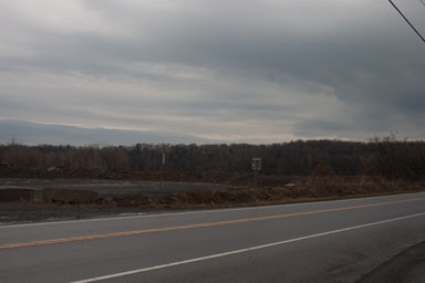
It's hard to tell in that last picture, but there's fresh work and new fill coming in. It's not a new mountain, and the new material seems to be getting built into the expanding plateau of fill.
The new work, the existing zoning welcoming dense development there, the location, the generally unpleasant history of the spot, and the Town's unwillingness to pass an actual moratorium has neighbors - myself included - concerned about what's going on here. Is Nick Bellisario trying to build something - potentially even something pretty large - in advance of the Varna Master Plan even getting started? Does Varna really need new construction to demonstrate why pausing for that Master Plan would have been useful? Will the Town Board actually pass a moratorium if this is new construction?
The Town won't say, so I've filed a Freedom of Information Law (FOIL) request. I'll post results here.
Here's hoping it's just fill with no purpose yet set.
Posted by simon at April 5, 2011 6:55 AM in Varna , planning and zoning , roads, traffic, and transitNote on photos


