April 28, 2007
Cornell t-GEIS study looks at roads
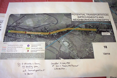
Back on the 18th of April, the Cornell Transportation-General Environmental Impact Study (t-GEIS) held an open house event much like the one they held in May. While the one in May started with a clean slate of maps, this one presented a lot more information about directions it looked like they might be going, with details provided for various neighborhood's affected by Cornell's tremendous transportation impact.

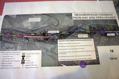
Varna feedback from May meeting.
The Cornell t-GEIS approach was a lot more like what I'd expected from the Route 13/366 Transportation Corridor Study than what I got. They collected specific feedback from residents, examined it, and then developed a plan combining that feedback and their expectations for what might happen. They focused on transportation, and addressed current problems in today's nodes. So far, I have to say that this is a planning process I'm really enjoying watching.
There was a huge amount more information. I've posted a gallery of photos, trying to keep the maps and texts readable without crushing people reading this over slow connections. The text is up front and the maps are later. I'm severely biased toward Dryden and the eastern edge of the Town of Ithaca here. There are maps for Varna, Ellis Hollow, Snyder Hill, Hanshaw Road, the 79/Pine Tree intersection, and the Belle Sherman area. (Unfortunately, I don't see the maps online.)
Posted by simon at April 28, 2007 4:24 PM in Cornell , Ellis Hollow , Snyder Hill , Varna , nodal development , planning and zoning , roads, traffic, and transitNote on photos
