December 23, 2010
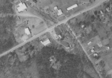
Amazing aerial photos, 1938-1991
Russ Nelson sent me aerial photos Cornell put on line a while ago, but I didn't figure out that you could zoom in on them until last night. Once I did that, I was just plain amazed.
The easiest place to start is here. Click a dot on the part of Tompkins County you want to see. That'll bring you to a picture like this. To zoom in, click on the picture. You can scroll it around with the mouse, and there is a zoom scale across the lower middle of the picture. (If it disappears, which it likes to do, click on the export button at the top right, and it seems to come back.)
The map quality varies by year, and to be honest, I've found 1938 to have some of the best detail.

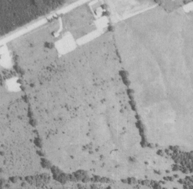
Baker Hill Road and Route 366, 1991
Be careful - you may find yourself spending hours looking around the area.
Posted by simon at December 23, 2010 6:04 AM in maps , photosNote on photos
