April 19, 2006
Mapping land to get ready to grow
I mentioned earlier that I was working on permaculture design for my house and its surrounding area. A key part of that is planning, and I've hired Joshua Dolan to help with that and more. To get started, he and Steve Gabriel (of the Finger Lakes Permaculture Institute) spent a morning mapping my lawn, its trees, and its forest edges.
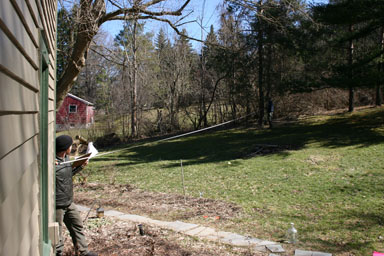
The approach they used required a 100-foot tape measure and a few marker flags. I started them off with a survey map of my house to give them a rough picture of what they had to map and what the property surveyors had considered landmarks. They then took measurements from the corners of the house, splitting the area up into four quadrants, to various objects and flags, and took measurements among the flags and objects too.

Joshua Dolan and Steve Gabriel collect measurements to build a map.
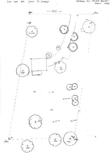
They took copious notes (368KB PDF), then went back and marked the distances on some large pieces of paper with a compass. The final map looks like:

Detailed map of my house area.
(I scanned that in tonight and assembled the pieces, then shrank it. The original is much larger.)
This parcel is a strange parallelogram. Some of the trees they show were cut down yesterday, but this base map should be key to future work. Next week we'll be adding contour lines, hopefully.
I've posted a small gallery of photos of the measurement process as well.
Posted by simon at April 19, 2006 10:49 PM in maps , my house , permacultureNote on photos